|
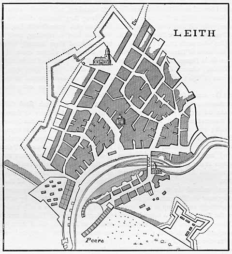
Leith - 1693 |
Engraving from Old & New Edinburgh - published 1890
Map of Leith - 1693
© For permission to reproduce, please contact peter.stubbs@edinphoto.org.uk
SOUTH IS AT THE TOP ON THIS MAP
|
Map of Leith - 1693 |
This plan is after Greenville Collins' Great Britain's Coastal Pilot, published in London in 1693. Leith's eastern fortifications can be seen on the left of this map. |
| Leith |
|
Old Maps: 1693 1804 1835 1840 1860 1917 Small Maps: 1870 1915 1925 1940 1955 Large Maps: 1870 1915 1925 1940 1955 Aerial View: 2001 |
|
Engravings Thumbnail images |
||