|
2001 |
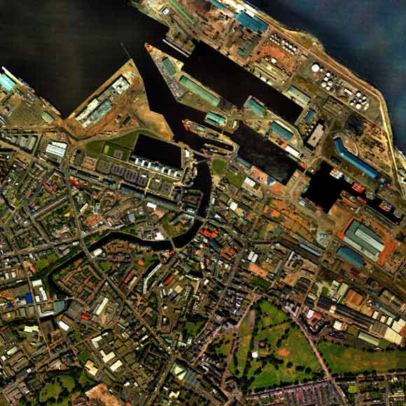
Aerial photograph of Leith - 2001
|
|
|
earlier map later map zoom-in zoom-out |
© Copyright: XYZ Digital Map Company Limited. Click here for details of web site.
|
Leith - 2001 |
|
This aerial view is detail taken from a photo by XYZ Digital Map Company Limited. This photo shows how Leith has expanded. The only remaining green area in this part of Leith is now Leith Links, at the bottom right of this map. |
| Leith |
|
Old Maps: 1693 1804 1835 1840 1860 1917 Small Maps: 1870 1915 1925 1940 1955 Large Maps: 1870 1915 1925 1940 1955 Aerial View: 2001 |
|
MAPS: Full index |
|
MAPS: Short Index with thumbnails |