|
Leith - 1835 |
This map by WH Lizars appeared in the Letter Carriers' Directory, 1840-41.
© Reproduced by courtesy of Edinburgh City Libraries and Information Services
|
Leith - 1835 |
|
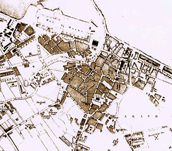
This 1835s map shows Leith with a harbour and just two wet docks. Most of the features on this map can be seen more clearly on Lizars' map produced in 1840. |
| Leith |
|
Old Maps: 1693 1804 1835 1840 1860 1917 Small Maps: 1870 1915 1925 1940 1955 Large Maps: 1870 1915 1925 1940 1955 Aerial View: 2001 |
|
MAPS: Full index |
|
MAPS: Short Index with thumbnails |