|
Leith |
|
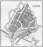
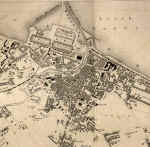
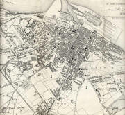
Enlarge the 1870 Leith map PLEASE NOTE: On the large map, you should be able to read all the street names but: - you will need to scroll across and down the map. - the map may be very slow to load. |
|
Leith |
|
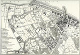
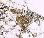
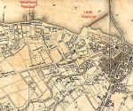
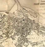
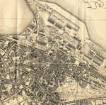
Maps of Leith The 1693 map: This early map is taken from Great Britain's Coasting Pilot, published 1693. It shows the small harbour and eastern fortifications of Leith. The 1804 map: This map shows the ownership of land in Leith, Newhaven and Trinity, with plans for proposed new docks at Leith. The 1835 map: Leith has a harbour with a wet dock and dry dock. The 1840 map: The style of the 1840 map is quite different from the 1835 map, but both show similar features. The 1860 map: A second wet dock, Victoria Dock has been added, and the harbour has been divided into two by a pier. The railway has reached Leith. The 1870 map: Many more houses have been built. There are now two railways to Leith Docks, from the south and from the west. Albert Dock has been built. The 1917 map: Leith has continued to expand. There are now two railway stations at the docks and one near the foot of Leith Walk. Imperial Dock and Edinburgh Docks have been built. |
|
MAPS: Full index |
|
MAPS: Short Index with thumbnails |