|
Water of Leith and Water of Leith Walkway |
||
|
Please scroll down this page or click on one of the links below |
||
|
1. |
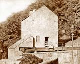
Old Photos |
|
|
2. |
1950s |
|
|
3. |
2005 |
|
|
4. |
2006 |
|
|
5. |
2007 onwards |
|
|
6. |
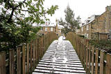
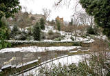
2009 |
|
|
7. |
2009 + 2010 |
|
|
8. |
2009 + 2010 |
|
|
9. |
2007 |
|
|
10. |
2010 |
|
|
11. |
Old Photos,
|
|
|
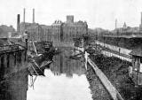
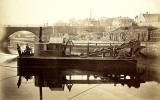
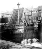
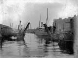
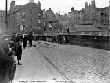
1. Leith Old Photos |
|
|
Date? |
Date? |
|
1910 |
1910 |
|
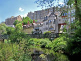
2. Leith 1950s |
|
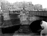
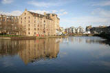
3. Leith |
|
|
2005 |
|
|
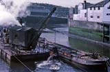
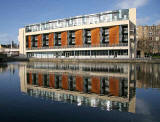
4. Leith |
|
2006 |
|
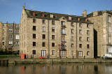
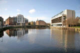
5. Leith |
|
|
2007 |
|
 ©
© |
|
|
2010 |
|
|
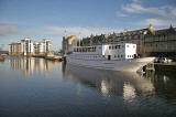
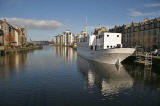
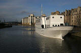
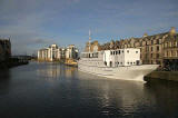
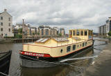
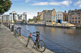
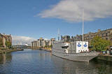
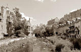
The Shore - Line showing |
|
|
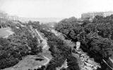
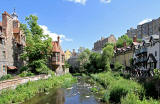
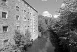
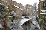
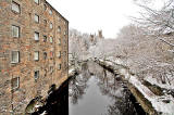
6. Canonmills to Stockbridge |
|
|
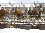
2009 |
|
|
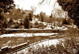
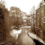
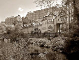
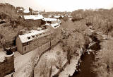
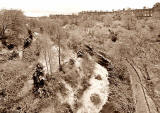
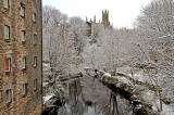
7. Stockbridge to Dean |
|
|
C19 |
|
|
Pre-1881? |
|
|
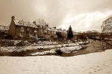
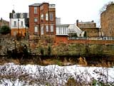
2009 |
|
|
2010 |
|
|
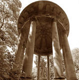
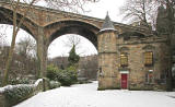
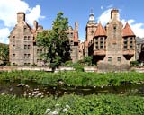
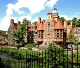
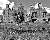
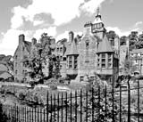
8. Dean |
|
|
19th Century |
|
|
George Washington Wilson |
|
|
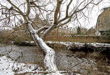
2009 |
|
|
July 2010 |
|
|
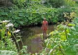
Wild flowers beside the Water of Leith |
|
|
December 2010 |
|
|
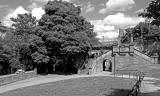
Looking West from Dean Path Bridge |
|
|
Looking East from Dean Path Bridge |
|

|
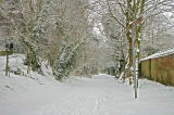
9. Colinton |
|
2006 |
|
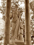
10. Antony Gormley Statues Several statues between Dean Gallery and Leith Western Harbour |
|
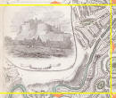
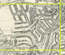
11. Old Photos, Maps and Aerial Photograph Stockbridge to Dean |
||
|
1844 |
1925 |
2001 |
|
Please click on any of the images above. All three will appear on the same page. |
||

|
Water of Leith |
|
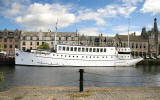
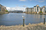
The Water of Leith is a small river that flows down from the Pentland Hills to the south-west of Edinburgh, through: - Balerno - Currie - Slateford - Dean - Stockbridge - Canonmills - Bonnington and - Leith to enter the Firth of Forth at Leith Harbour. |
|
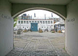
On a ten mile length of the river, in the 19th century, there were: - 24 flour mills - 14 corn mills - 12 barley mills - 5 snuff mills - 4 paper mills - 2 lint mills and - 2 leather mills None are still operating as mills. The last one closed in the late 20th century. |
| Source of information on the number of mills: Donald Lindgren's book: The Firth of Forth in Old Picture Postcards, Publ. European Library, 1989. |
|
More photos: Around Edinburgh |