|
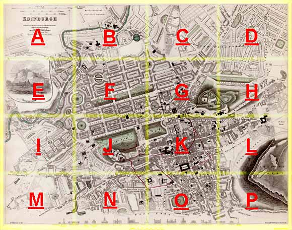
Edinburgh Section E 1844 - 1925 - 2001 |
|
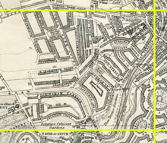
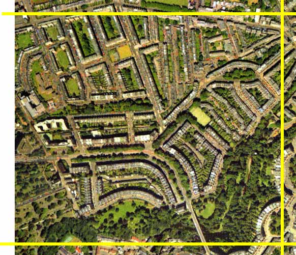
Comely Bank |
|
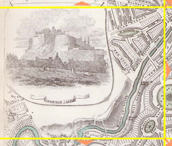
Dean Bridge |
|
Water of Leith |
1844 Map
|
|
1925 Map
|
|
© Peter Stubbs Please contact peter.stubbs@edinphoto.org.uk for permission to reproduce
|
|
© Copyright: XYZ Digital Map Company Limited. Click here for details of web site.
|
Comely Bank |
|
Dean Bridge |
|
Water of Leith |
|
Most of the housing in this area had not been build when the 1844 map was published. Upper-left is Comely Bank, with its 3-storey tenement buildings. These are built close to the roads, with no gardens at the front, but they have 'greens' (large square areas, originally used for hanging out clothes to dry) hidden in the centre of each building. The valley of the Water of Leith can be seen, running along the bottom of this area, passing under Telford's Dean Bridge, then turning towards the north past St Bernard's Well. |
Other Sections
|
Maps of Edinburgh Today |
|
For maps of Edinburgh (and elsewhere in Britain) today, I suggest using the Multimap web pages. Please click here to open a window of the Multimap web site. The Multimap site can display maps to match post-codes, and also has links to web-cams in Edinburgh. |