|
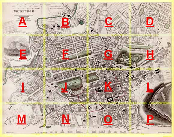
Edinburgh Section I 1844 - 1925 - 2001 |
|
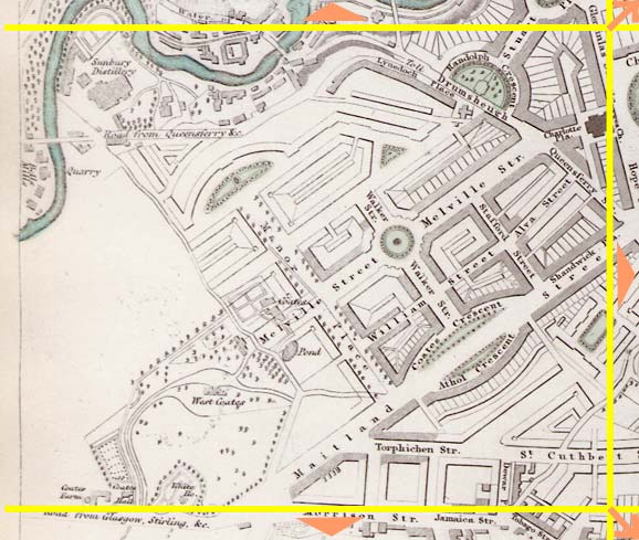
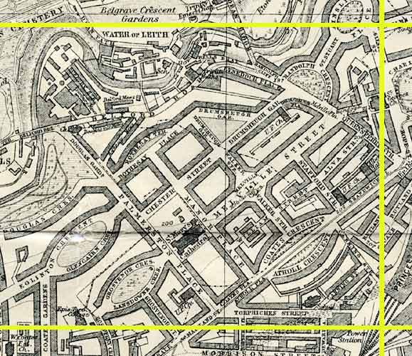
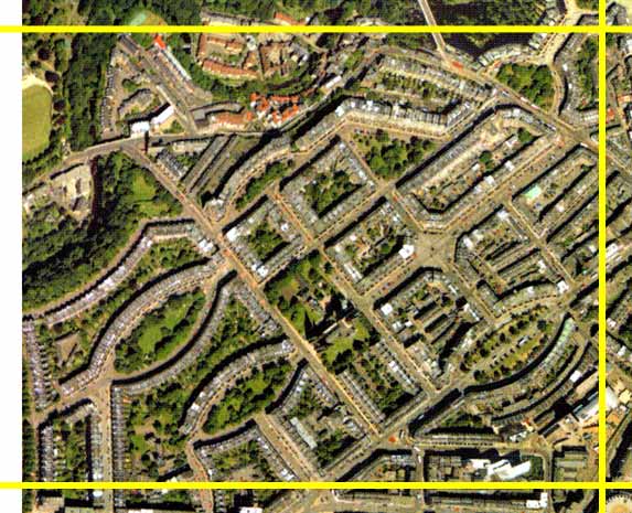
West End The area around Melville Street close to the West End of Princes Street. |
1844 Map
|
|
1925 Map
|
|
© Peter Stubbs Please contact peter.stubbs@edinphoto.org.uk for permission to reproduce
|
|
© Copyright: XYZ Digital Map Company Limited. Click here for details of web site.
|
West End |
|
This part of the New Town of Edinburgh is immediately to the west of the West End of Princes Street. It was under construction at the time the 1844 map was produced. Comparison of the 1925 map and the 2001 aerial view show how little has changed over this period. The Water of Leith can be seen winding its way through Dean Village at the upper left of this area. |
Other Sections
|
Maps of Edinburgh Today |
|
For maps of Edinburgh (and elsewhere in Britain) today, I suggest using the Multimap web pages. Please click here to open a window of the Multimap web site. The Multimap site can display maps to match post-codes, and also has links to web-cams in Edinburgh. |