|
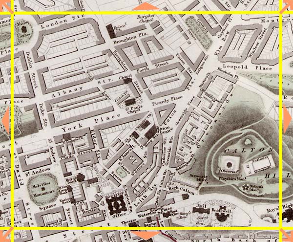
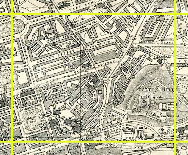
Edinburgh Section G 1844 - 1925 - 2001 |
|
Edinburgh New Town [ east = 'Second New Town' ] |
|
Calton Hill |
1844 Map
|
|
1925 Map
|
|
© Peter Stubbs Please contact peter.stubbs@edinphoto.org.uk for permission to reproduce
|
|
© Copyright: XYZ Digital Map Company Limited. Click here for details of web site.
|
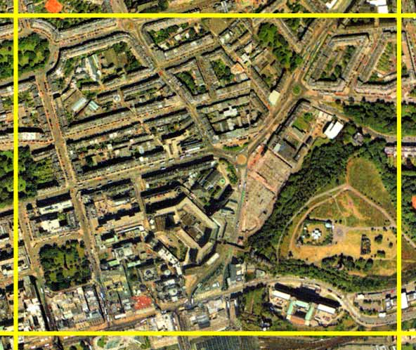
Edinburgh New Town [ east = 'Second New Town' ] |
|
Calton Hill |
|
This map extends from St Andrew's Square to Calton Hill. Between the two was St James Square, originally housing but developed as Offices, Hotel and Shopping Centre in the 1970s. The upper part of this view is of the 2nd New Town of Edinburgh - an extension of the 1st New town to the north and east. The second new town was under construction at the time that the 1844 map was produced. |
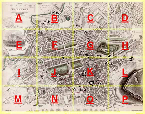
Other Sections
|
Maps of Edinburgh Today |
|
For maps of Edinburgh (and elsewhere in Britain) today, I suggest using the Multimap web pages. Please click here to open a window of the Multimap web site. The Multimap site can display maps to match post-codes, and also has links to web-cams in Edinburgh. |