|
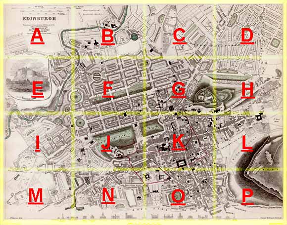
Edinburgh Section C 1844 - 1925 - 2001 |
|
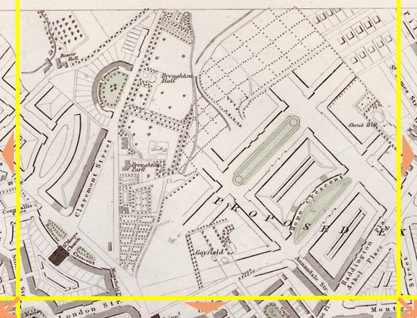
Broughton |
1844 Map
|
|
|
|
© Peter Stubbs Please contact peter.stubbs@edinphoto.org.uk for permission to reproduce
|
|
© Copyright: XYZ Digital Map Company Limited. Click here for details of web site.
|
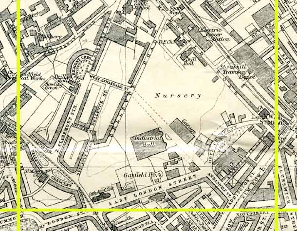
Broughton |
|
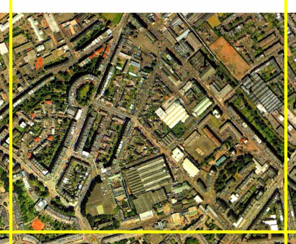
Claremont Crescent (upper left) can be seen clearly in both the maps and on the aerial photo. Just opposite Claremont Crescent is Broughton Hall. Most of this area of the city was still at the design stage when the 1844 map was produced. Housing, forming part of the 'Second New Town of Edinburgh', was built in the Claremont Street and Bellevue Road areas, running diagonally from lower left to upper centre in the photo. Little can be seen on the 1844 map of the proposed lay-out of the remainder of this area, except around Hope Crescent, now Hopetoun Crescent (lower right). Much of this area has been used for industry, including a Lothian Region Bus Depot (lower centre) but over the last three years (to 2002) more housing has been built to replace some of the industrial buildings in the lower right corner. |
Other Sections
|
Maps of Edinburgh Today |
|
For maps of Edinburgh (and elsewhere in Britain) today, I suggest using the Multimap web pages. Please click here to open a window of the Multimap web site. The Multimap site can display maps to match post-codes, and also has links to web-cams in Edinburgh. |