|
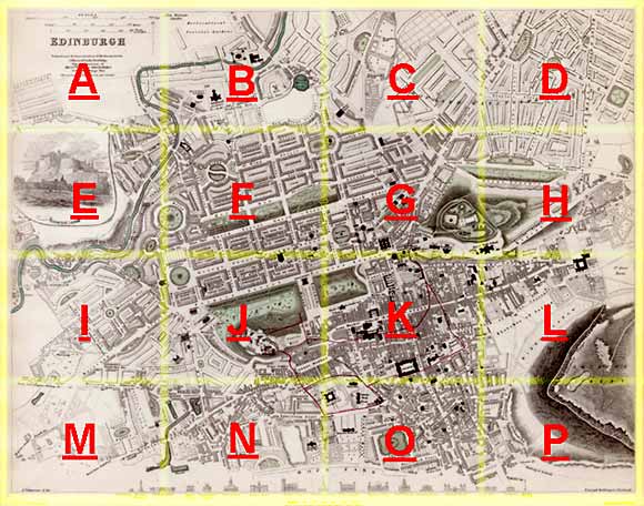
Edinburgh Section K 1844 - 1925 - 2001 |
|
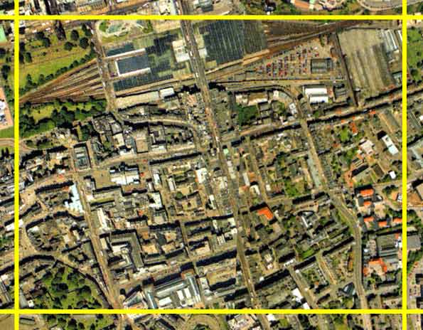
Princes St Gardens (East) |
|
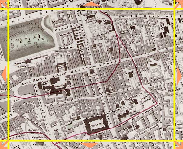
Edinburgh Old Town |
1844 Map
|
|
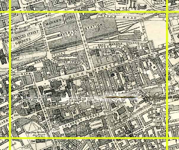
1925 Map
|
|
© Peter Stubbs Please contact peter.stubbs@edinphoto.org.uk for permission to reproduce
|
|
© Copyright: XYZ Digital Map Company Limited. Click here for details of web site
|
Princes St Gardens (East) |
|
Edinburgh Old Town |
|
The most prominent features in the picture above are: - East Princes Street Gardens (upper left), with the railway lines leading from the station through the gardens to the west to Glasgow and to the north across the Forth Rail Bridge. East Princes Street Gardens were still a loch when the 1844 map was published. - North Bridge and South Bridge, leading to the south from the East End of Princes Street. - Royal Mile, leading approximately west-east across the centre of the map. |
Other Sections
|
Maps of Edinburgh Today |
|
For maps of Edinburgh (and elsewhere in Britain) today, I suggest using the Multimap web pages. Please click here to open a window of the Multimap web site. The Multimap site can display maps to match post-codes, and also has links to web-cams in Edinburgh. |