|
Edinburgh Maps |
|
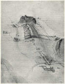
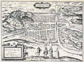
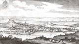
Early Maps |
|
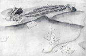
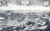
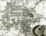
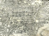
Bird's-Eye View |
|
|
1830 |
|
|
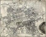
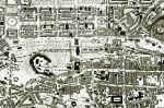
1844 |
|
|
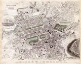
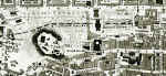
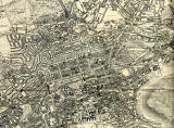
1860 |
||
|
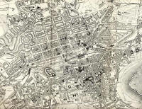
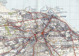
1923 |
|
|
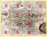
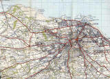
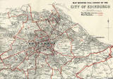
1925 |
||
|
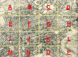
NOTE: Clicking on the All Sections map above will take you to a larger map of the sixteen sections. Then each display will show 1844, 1925 and 2001. |
||
|
Please click here for many more 1925 maps, large and small. |
||
|
Early Maps of Edinburgh Many early maps of Edinburgh have been drawn and have survived. In contrast, some other parts of Britain remained with very little detail mapped until the Ordnance Survey 'one inch' series of maps was completed in 1870 for England & Wales and 1887 for Scotland. Colour was added to the 'one inch' maps in 1897. |
|
MAPS: Full index |
|
MAPS: Short Index with thumbnails |