|
Maps, Plans and Aerial Views of Granton |
|
|
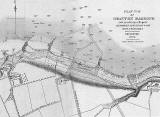
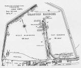
Granton Harbour |
|
|
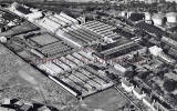
United Wire Works |
|
|
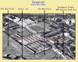
Early Aerial View + legend |
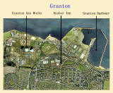
Granton and Edinburgh Waterfront 2001 Aerial View + legend |


|
More photos around Granton |
Recollections |
|
|
Maps |
History and Questions |
Photos |
|
MAPS: Full index |
|
MAPS: Short Index with thumbnails |