|
Maps and Aerial Views |
|
|
Please scroll down OR select the fuller index without thumbnail maps . Large maps may take a long time to load, but the wait may be worthwhile. |
|
|
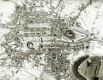
Edinburgh |
1460, 1544, 1582, 1649, 1670, 1830, 1844, 1860, 1870, 1923, 1925, 1940, 1955 |
|
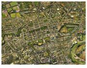
Edinburgh - Aerial Views |
|
|
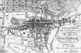
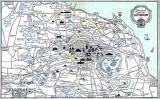
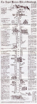
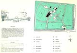
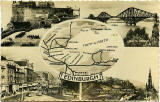
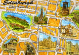
Edinburgh - Pictorial Map |
|
|
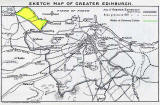
Edinburgh Districts including Edinburgh N, S, E, W |
SMALL and LARGE: |
|
Edinburgh Districts including Edinburgh N, S, E, W |
MAPS and AERIAL VIEWS: |
|
Edinburgh and Leith Chronological Map - 1919 |
SMALL: LARGE: |
|
Edinburgh Districts Maps AND Aerial Photos 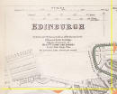 ©
©
|
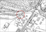
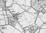
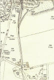
1914 and 1930 Greenend and Moredun Mill |
|
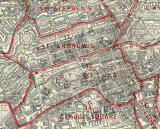
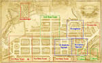
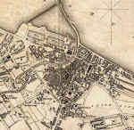
Edinburgh - Central |
|
|
Edinburgh
|
|
 ©
©
|
|
|
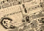
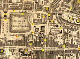
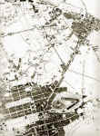
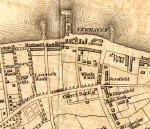
1891 - Edinburgh Old Town and zooming-in on: |
|
|
Edinburgh - Old Town sketches 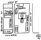 ©
©
|
|
|
Royal Mile Closes |
|
|
Edinburgh - Princes Street 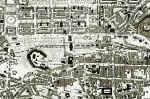 ©
©
|
|
|
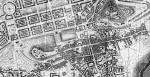
Edinburgh - New Town |
|
|
Edinburgh - New Town and surrounding area - sketches |
|
|
Edinburgh - Waverley |
|
|
Edinburgh - Dumbiedykes 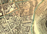 ©
©
|
|
|
Edinburgh - Lawnmarket |
Lawnmarket - for comparison with 1970s photo |
|
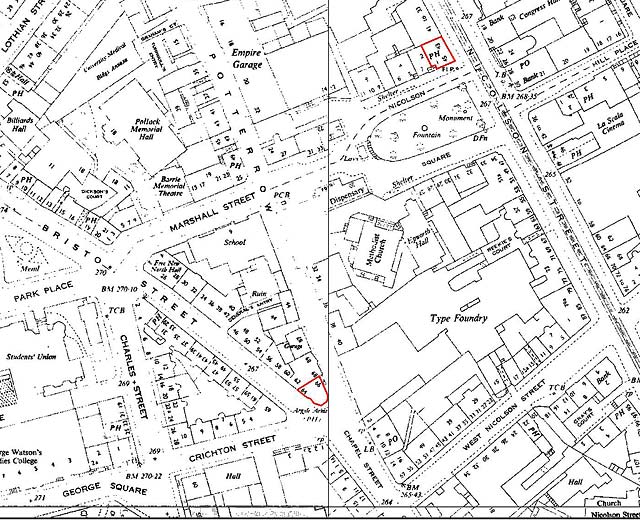
Edinburgh - Detail from large-scale maps 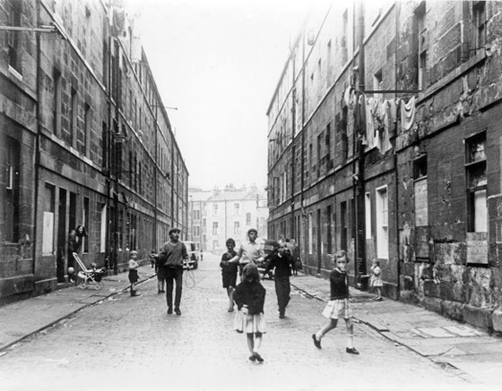 ©
©
|
|
|
Edinburgh - Who lived where? |
Murrayfield, Baird Avenue |
|
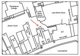
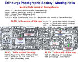
Edinburgh - EPS Meeting Halls |
SMALL: EPS LARGE: EPS |
|
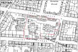
Edinburgh - Housing |
Map extracts: Hutments (1920-21): Albert Street Hutments (1920-21): Meadowbank Plan on Drainage Report : |
|
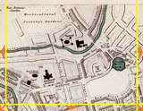
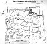
Edinburgh - Royal Botanic Garden |
|
|
Edinburgh - Time Gun |
|
|
Edinburgh & Leith - Transport 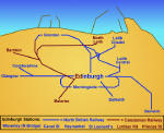 ©
©
|
Airport - 1923 Railways - from 1831 to early 1900s Railways - 1895 - Niddrie Station Railways - 1853 - Scotland Street Station Railways + Trams - 1924 - Edinburgh Railways + Trams - 1824 - Salamander Street Trams + Buses - 1920 1924 1926 1929 Tram Routes from Granton - 1952 SMALL: 1908 Exhibition LARGE: 1908 Exhibition |
|
Edinburgh
- Princes
Street
|
|
|
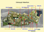
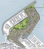
Edinburgh - Waterfront |
|
|
|
|
|
Forthside
|
|
|
Edinburgh and Leith |
|
|
Edinburgh and Leith with Links to Pictures |
|
 ©
©
|
|
|
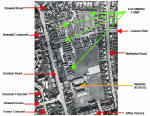
Fountainbridge |
Showing the location of the 'XL Bar' |
|
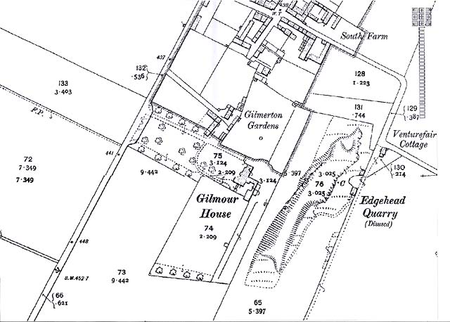
Gilmerton |
Gilmerton House (later, Gilmour House) : |
|
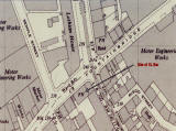
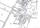
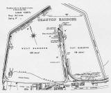
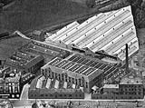
Granton
|
Granton Harbour: 1834 Plan 1937 Granton Harbour (aerial view): Railway near the Harbour early-1950s 1955 United Wire Works (aerial views): |
|
Lauriston |
Lauriston Castle |
|
Leith |
|
|
Murrayfield |
Ravelston Dykes Road (re-alignment) |
|
Newhaven |
Newhaven (aerial view): |
|
New ington |
Echo Bank, Newington: 1852 |
|
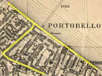
Portobello |
|
|
Tanfield |
|
|
Trinity Aerial Views - 1947 |
SMALL + KEY: Trinity NW Trinity NE Trinity Wardie LARGE: Trinity NW Trinity NE Trinity Wardie SMALL: |
|
The Wisp |
|
|
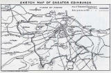
Edinburgh Boundaries |
|
|
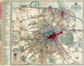
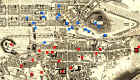
Edinburgh - Whole City |
SMALL: 1925 (+ proposed 2010 tramline ) LARGE: |
|
Around Edinburgh |
|
|
Dalmeny Estate |
|
|
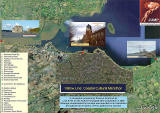
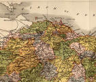
Firth of Forth |
|
|
Outline Maps showing Edinburgh |
|
|
Scotland - Railways |
|
|
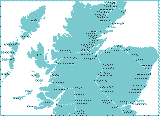
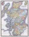
Scotland |
|
|
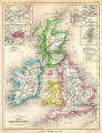
Britain and Ireland |
|
|
Europe
|
|
|
World
|
|
|
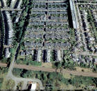
Aerial Views |
|
|
Maps on Postcards |
Recent Maps 1725 Map |
|
This link is to a fuller list
of maps on the web site,
|
|


|
PLEASE NOTE: |
|
1. Some maps may be SLOW to LOAD, especially the larger maps. 2. However, I have assumed that most viewers will be prepared to wait a little longer to see a better quality image, rather than see a poor quality quickly. I hope you find the wait worthwhile. Once a large map appears, you should be able to scroll across it and up and down, using the scroll bars. - Peter Stubbs |
|
Maps Other web sites |
|
Edinburgh Today For maps of Edinburgh and elsewhere in Britain to day, I recommend Multimap . The Multimap site displays maps for post-code s, and has Edinburgh web-cams . |
|
Edinburgh Yesterday For old maps of Edinburgh and elsewhere I recommend the NLS map site . This site can display many maps from the National Library of Scotland's collection. |
|
Edinburgh Today and Yesterday For old maps, new maps and aerial views of Edinburgh and elsewhere I recommend th is Old Maps web site. Maps on this site can be found by searching for by searching for place names, addresses or co-ordinates |
|
Granton History Group For the following interactive tram route maps and references to other sources of information . |