|
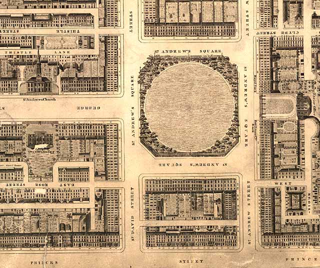
Edinburgh New Town - Robert Kirkwood Map St Andrew Square 1819 |
|
|
St Andrew Square
© Reproduced by courtesy of the National Library of Scotland. Click here for further info, and for the NLS maps web site. |
|
|
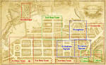
Click here to see all other sections of this map: |
Please click
an arrow below to move to a
|
|
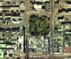
Click here
to see the whole map
and aerial view:
|
|
|
St Andrew Square |
|
|
Here is a view of St Andrew Square, before the monument to Melville had been erected in the centre of the square. Leading into the square from the west is George Street, with St Andrew's church on the north side of the street and the Physicians' Hall. On the eastern side of the square is the Excise Office, later to become Head Office of the Royal Bank of Scotland. the lettering in front of the buildings on either side of the Excise Office on the eastern side of the square reads: - TO THE NORTH: Royal Bank - TO THE SOUTH: British Linen Company Bank |
|
|
Kirkwood Map - 1819 |