|
Edinburgh New Town - Robert Kirkwood Map St James Square 1819 |
|
|
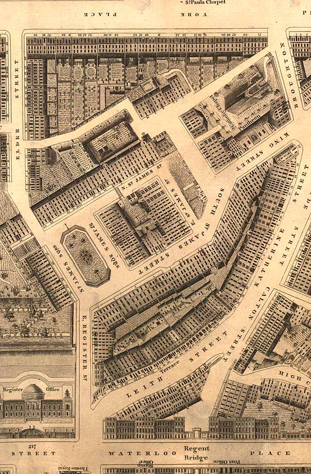
St James Square
© Reproduced by courtesy of the National Library of Scotland. Click here for further info, and for the NLS maps web site. |
|
|
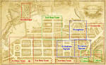
Click here to see all other sections of this map: |
Please click
an arrow below to move to a
|
|
Click here
to see the whole map
and aerial view:
|
|
|
St James Square |
|
|
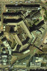
St James Square lay very close to the East End of Princes Street - immediately to the north of the GPO (or when this map was drawn, immediately to the north of the Theatre Royal in Shakespeare Square). This whole area around St James Square was demolished and redeveloped as the Saint James Centre Government Offices, hotel and shopping complex in the 1970s. James Begbie, whose produced many old photographs of Edinburgh lived in St James Square. His studio was close by, at 7 Leith Street (- just below the letter 'L' of LEITH STREET on this map. Register Office (now Register House) at the East End of Princes Street is in the bottom-left corner of this picture. The Catholic Chapel (now the Catholic Cathedral) with the Pantheon Theatre beside it is in the top right corner. I believe that at least two theatres on this site were lost in fires. |
|
|
Kirkwood Map - 1819 |