|
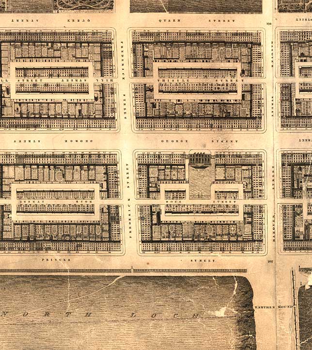
Edinburgh New Town - Robert Kirkwood Map First New Town Central Section 1819 |
|
|
First New Town (Central Section) including the foot of the Mound
© Reproduced by courtesy of the National Library of Scotland. Click here for further info, and for the NLS maps web site. |
|
|
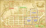
Click here to see all other sections of this map: |
Please click
an arrow below to move to a
|
|
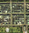
Click here
to see the whole map
and aerial view:
|
|
|
First New Town Central Section |
|
|
The First New Town of Edinburgh includes the regular pattern of streets bounded by: - Princes Street (to the south) - Queen Street (to the north) - Charlotte Square (to the west) - St Andrew Square (to the east) Between the two squares, there are three streets running North-South: - Castle Street - Frederick Street - Hanover Street (in this map, joining Princes Street opposite the Earthen Mound. This section of the map runs approximately from Castle Street to Hanover Street. When this map was drawn, the National Galleries at the foot of The Mound (The Earthen Mound) had not yet been built, and West Princes Street Gardens had not yet been drained. The gardens are shown as the North Loch. |
|
|
Kirkwood Map - 1819 |