|
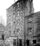
St Leonard's District Photos Photo 9 Where is it? |
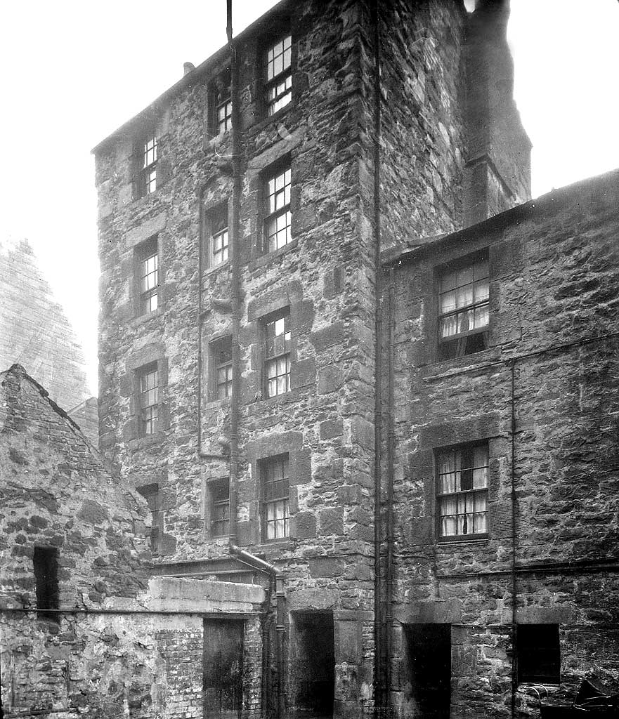
© Reproduced with acknowledgement to David Gordon, Old Town, Edinburgh
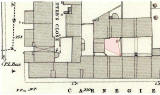
showing where the photograph above was taken from
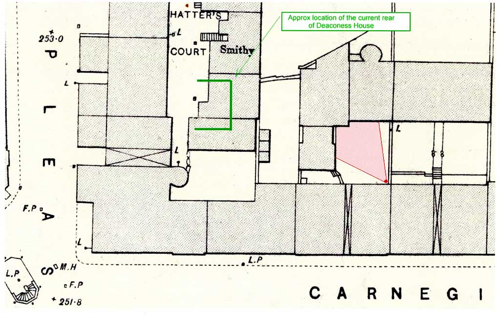
Bartholemew map revised 1891, based on Ordnance Survey maps surveyed 1876-77
© Reproduced by permission of the Trustees of the National Library of Scotland.
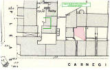
showing where the photograph above was taken from
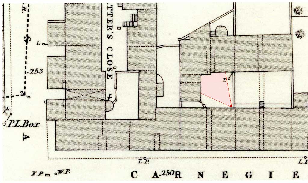
Ordnance Survey maps surveyed 1876-77
© Reproduced by permission of the Trustees of the National Library of Scotland.
|
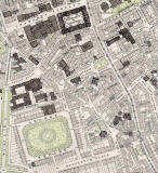
1891 Map Carnegie Street, and the houses to the rear of the street, can be seen near the top of the St Leonard's 1891 map below. |
|
More photos - Questions and Answers: Where is it? |
||