|
c.1821 |
|
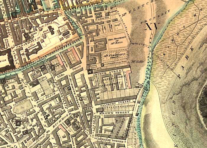
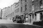
Dumbiedykes - c.1821
© Reproduced with acknowledgement to Eric Gold, formerly of Dumbiedykes, now living in London |
|
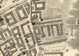
c.1820 |
|
c.1821 |
|
The district of Dumbiedykes is the housing in the centre of this map between Pleasance and the edge of Holyrood Park. |
|
Running up the left-hand side of this map is Nicolson Street, the main road from the south into Edinburgh past: - Edinburgh University (extreme left) then via - South Bridge and North Bridge to Princes Street Arthur Street |
|
Dumbiedykes: Streets A-G Streets H-R Streets S-Z More Pages |
||
| Edinburgh Photos | Contributors | |