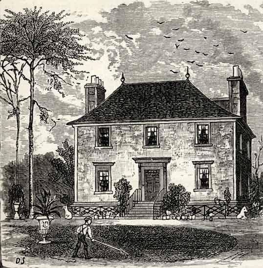
Engraving from Old & New Edinburgh - published 1890 Broughton Hall |
© For permission to reproduce, please contact peter.stubbs@edinphoto.org.uk
|
Broughton Hall |
|
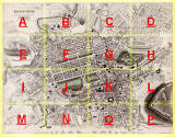
Where was Broughton Hall? Broughton Hall was about a mile to the north-east of Central Edinburgh, in the middle of section C of this map of Edinburgh. Please click here to see the a), b) and c) below: a) Section C of the map above, showing Broughton Hall and the surrounding land in 1844. Broughton Hall is on the eastern side of Broughton Street, just opposite Claremont Crescent. b) The same area in 1925, more fully developed, with a row of tenements replacing Broughton Hall c) An aerial view of the same area in 2001. |
|
When was Broughton Hall demolished? The National Library of Scotland Maps web site includes maps that can pinpoint the date of demolition of Broughton Hall more precisely.
- Broughton Hall appeared on the Bartholemew Plan of 1890 - It was shown as still standing on the 1894 Ordnance Survey map. - It did not appear on the 1905 Ordnance Survey map. |
|
[With acknowledgement to Jenny Parkerson for details of the National Library of Scotland maps.] |
|
Engravings Thumbnail images |
||