|
Newhaven |
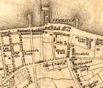
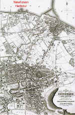
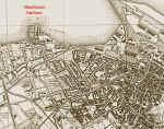
Newhaven - showing the position relative to Edinburgh and Leith
|
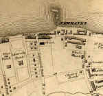
Newhaven |
|
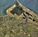
Newhaven is situated on the firth of Forth, between Granton and Leith. It is about three miles to the north of the centre of Edinburgh |
|
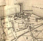
Newhaven |
||
|
Newhaven Old Photos |
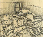
Newhaven |
Newhaven |
|
MAPS: Full index |
|
MAPS: Short Index with thumbnails |