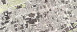
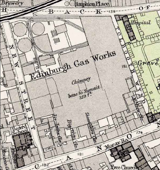
Edinburgh Old Town  -   Dumbiedykes

1891

Please scroll across and down the page to see the whole of this map  -    Dumbiedykes  -  1891    -  Please scroll across and down the page to see the whole of this map

Large Map

Edinburgh Old Town  -  Extract from a Bartholemew Map, 1891  -  Dumbiedykes

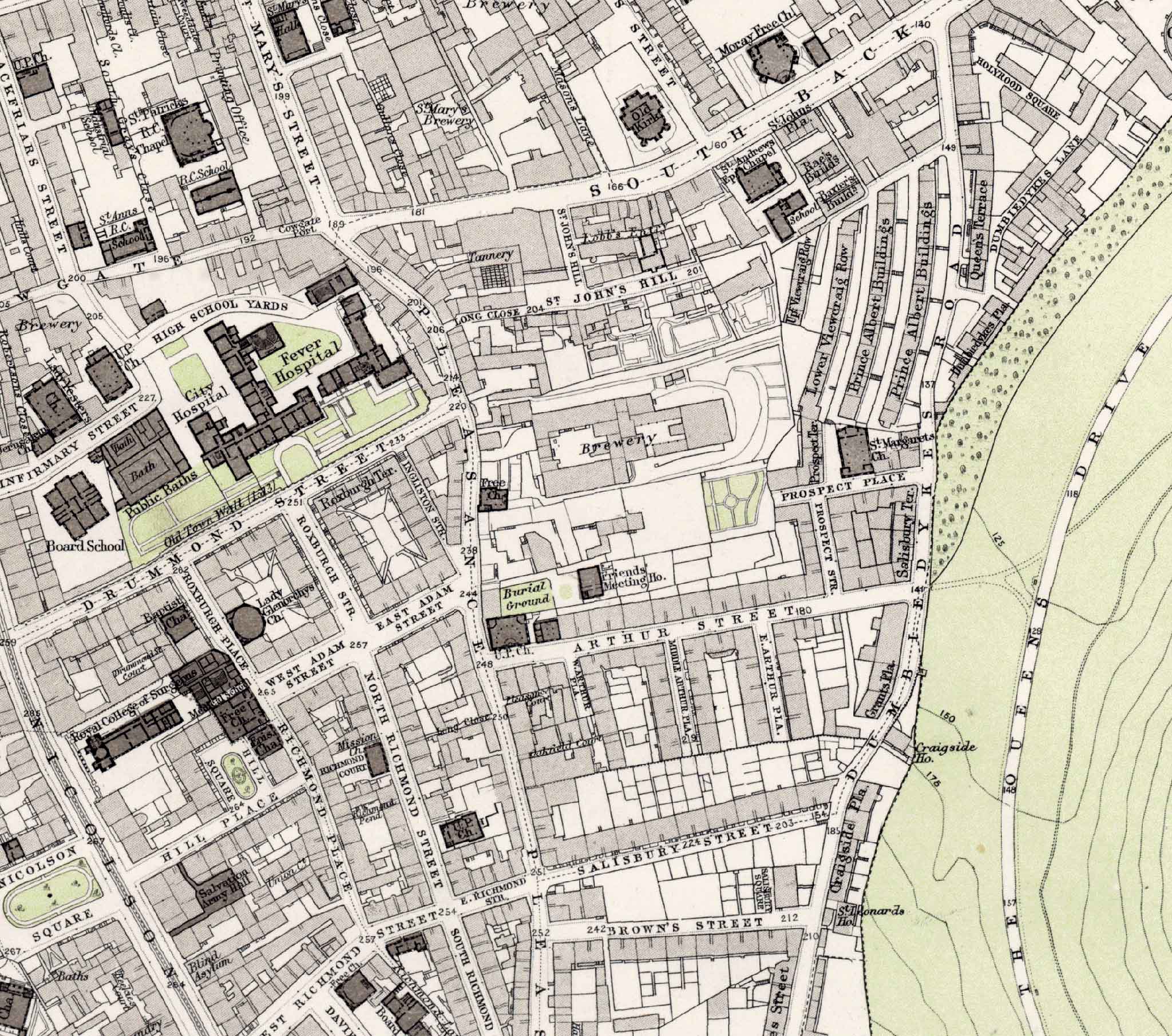
Bartholemew map revised 1891, based on Ordnance Survey maps surveyed 1876-77.     © Reproduced by permission of the Trustees of the National Library of Scotland.


View smaller map

and read about this map

    Edinburgh Old Town  -  Extract from a Bartholemew Map, 1891  -  Dumbiedykes ©


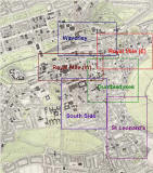
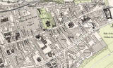
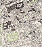
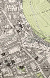
Other extracts from this Map

To see more extracts from this 1891 map, please click on one of the links below.


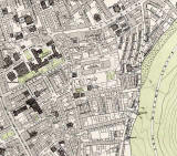
Edinburgh Old Town

1891 Map

1891 Map  -  Edibnburgh Old Town  -  map + key ©

Old Town

small

medium

PLEASE NOTE:  Large maps below may take a while to load and
 you'll need to scroll across and down to see the whole extract.

Edinburgh Old Town  -  Extract from a Bartholemew Map, 1891  -  Waverley ©

Waverley

small

medium

large

Edinburgh Old Town  -  Extract from a Bartholemew Map, 1891   -  Royal Mile (west) ©

Royal Mile (W)

small

medium

large

 Edinburgh Old Town  -  Extract from a Bartholemew Map, 1891  -  Royal Mile (east) ©

Royal Mile (E)

small

medium

large

Edinburgh Old Town  -  Extract from a Bartholemew Map, 1891  -  South Side ©

South Side

small

medium

large

Edinburgh Old Town  -  Extract from a Bartholemew Map, 1891  -  Dumbiedykes ©

Dumbiedykes

small

medium

large

Edinburgh Old Town  -  Extract from a Bartholemew Map, 1891  -  St Leonard's ©

St Leonard's

small

medium

large

Detail from 1891 Map  -  Edinburgh Gas Works, New Street ©

Edinburgh Gas Works


MAPS:  Full index

Outline Map of the British Isles © MAPS: Short Index with thumbnails


__________________