|
Edinburgh Castle Maps and Aerial Views |
|
Please click here to see |
|
including Edinburgh Castle. |
|
Maps and Aerial Views |
|||
|
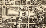
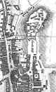
1844 |
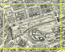
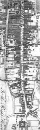
1925 |
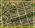
2001 |
|
|
Please click on any of the images above. All three will appear on the same page. |
|||
|
Please click here to find Edinburgh Castle on a map of the Royal Mile. It is No. 120, at the top of this map. |
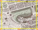
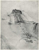
Bird's Eye View |
||
|
More photos: Edinburgh Castle Around Edinburgh |