|
Edinburgh Section P 1844 - 1925 - 2001 |
|
Dumbiedykes |
|
St Leonard's |
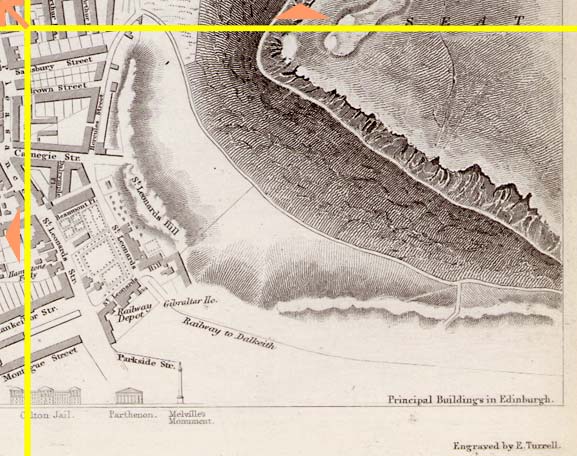
1844 Map
|
|
|
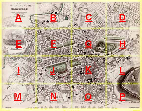
Whole Map: Key No key Move: Left Right Up Down Aerial View 2001 |
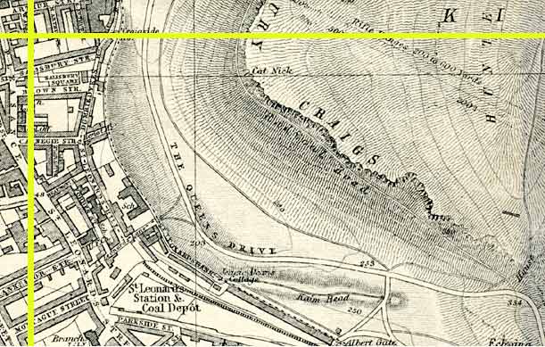
1925 Map
|
|
© Peter Stubbs Please contact peter.stubbs@edinphoto.org.uk for permission to reproduce
|
|
© Copyright: XYZ Digital Map Company Limited. Click here for details of web site.
|
Comments |
|
Dumbiedykes |
|
St Leonard's |
|
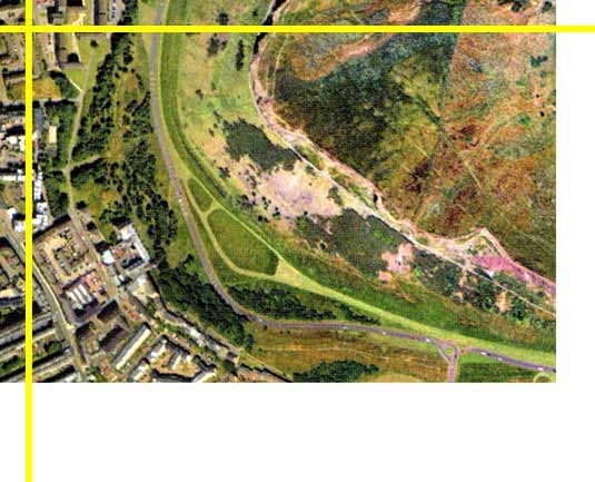
This area of Edinburgh is only about a mile from Princes Street, but the buildings stop as we approach Queen's Park. Here, in the park, we see the Radical Road - the thin while line through across the hills beneath Salisbury Crags on the aerial view. |
|
NOTE: Part of Dumbiedykes lies to the north of the area shown above. Clicking on the arrows on the 1844 map will take you to other parts of the map. e.g. further north towards Holyrood Palace. |
|
Dumbiedykes: Streets A-G Streets H-R Streets S-Z More Pages |
||
| Edinburgh Photos | Contributors | |
Other Sections
|
Maps of Edinburgh Today |
|
For maps of Edinburgh (and elsewhere in Britain) today, I suggest using the Multimap web pages. Please click here to open a window of the Multimap web site. The Multimap site can display maps to match post-codes, and also has links to web-cams in Edinburgh. |