|
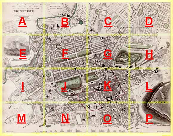
Edinburgh Section N 1844 - 1925 - 2001 |
|
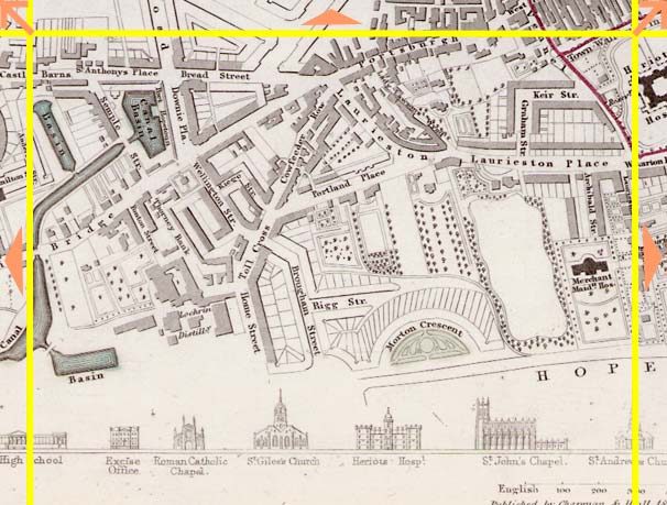
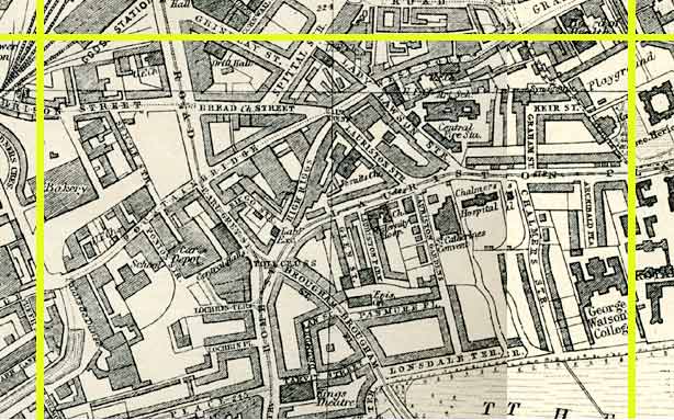
Tollcross |
1844 Map
|
|
1925 Map
|
|
© Peter Stubbs Please contact peter.stubbs@edinphoto.org.uk for permission to reproduce
|
|
© Copyright: XYZ Digital Map Company Limited. Click here for details of web site.
|
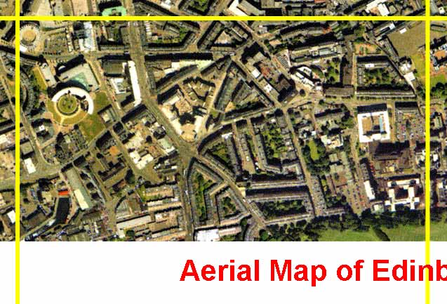
Tollcross |
|
The Union Canal now ends at the lower left corner of this aerial view. It used to extend a short distance further to the north. (At one time, in the early 19th century, there were suggestions that it should be extended through a series of locks to meet the Firth of Forth at Granton Harbour.) The major road junction of six roads at the centre of this aerial view is Tollcross. |
Other Sections
|
Maps of Edinburgh Today |
|
For maps of Edinburgh (and elsewhere in Britain) today, I suggest using the Multimap web pages. Please click here to open a window of the Multimap web site. The Multimap site can display maps to match post-codes, and also has links to web-cams in Edinburgh. |