|
Map showing the Edinburgh Boundaries and Dalmeny Estate |
|
|
©
Copyright:
For
permission to reproduce, please contact peter.stubbs@edinphoto.org.uk
Based on a map published in 'Edinburgh Official Guide', published by the
Authority of the Magistrates and Council, 1923

|
Dalmeny Estate |
|
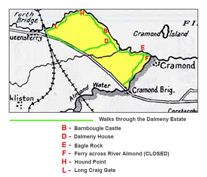
The Rosebery Family The Dalmeny Estate lies on the south shore of the Firth of Forth, between South Queensferry and Cramond. It is owned by the Rosebery Family The estate was bought in the 1660s by Sir Archibald Primrose for his son who was created 1st Earl of Rosebery in 1703. The family lived in the 12th century Barnbougle Castle on the estate, beside the Forth until Dalmeny House was built. It was the 4th Earl who built Dalmeny House in 1815 on the estate, about a quarter of a mile inland from the castle. Dalmeny House After lying derelict for many decades, Barnbougle Castle is now w private residence. The Rosebery Family still live in Dalmeny House. |
|
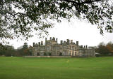
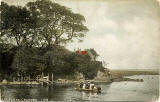
Walks through Dalmeny Estate There is a public walk beside the Firth of Forth through Dalmeny Estate. This has been a popular walk from South Queensferry to Cramond for many decades, ending with the short passage by ferry across the River Almond at Cramond. Cramond Ferry Cramond Ferry is now (2005) temporarily closed, so on approaching Cramond, the walk now takes a turn to the right and follows the western bank of the River Almond to Cramond Bridge beside the Edinburgh to South Queensferry road. NOTE: The map above is a 1920 map. Little has changed within the Dalmeny Estate since then, but to the south of the estate a new A90 road has been built linking Barnton to the Forth Road Bridge at South Queensferry. Most of the old road still exists, reaching South Queensferry via Hawes Pier beneath the Forth Rail Bridge. It is the old road that appears on the map above. The Old Road |
|
Source: Rosebery family details have been taken from the Tour Scotland web site. |
|
MAPS: Full index |
|
MAPS: Short Index with thumbnails |