|
Central Edinburgh 1915 |
Central Edinburgh
|
|
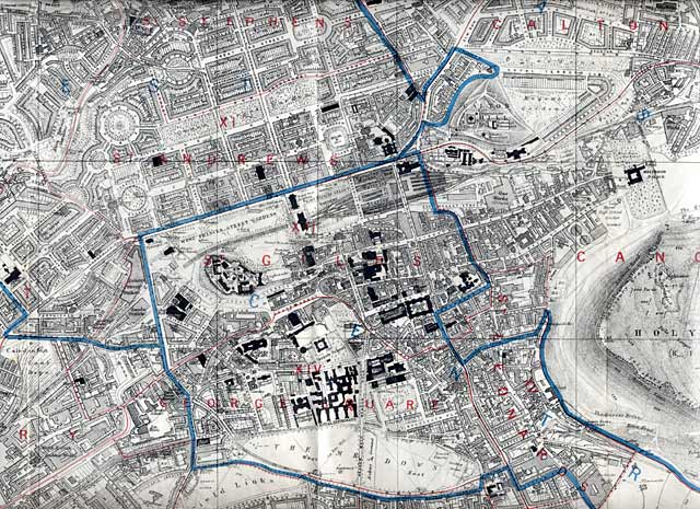
© For permission to reproduce please contact peter.stubbs@edinphoto.org.uk Extract from a map in the Post Office Directory, 1915-16
The blue lines on this map are Parliamentary Divisions. The red lines are Ward Boundaries.
|
Maps: All Edinburgh Districts: 1870 1915 1925 1940 1955 2001 |
|
|
Map Index: Full Index |
Map Index: Short Index + thumbnails |