Royal Mile ClosesMid-1700s |
'Edinburgh in the Mid-Eighteenth Century'
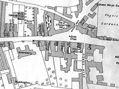
Extract 1 from map, including closes near Holyrood at the foot of Canongate
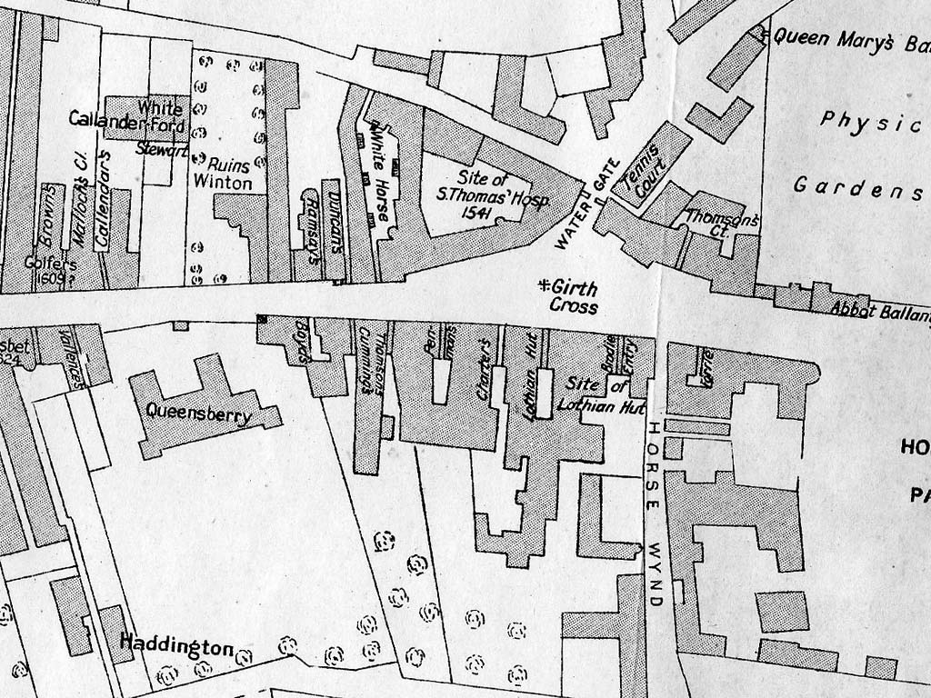
©
Reproduced with acknowledgement to John
Dickson, Royston, Edinburgh
Map
drawn by Henry F Kerr in 1918 and published in The Book of the Old
Edinburgh Club, Vol XI, 1922.
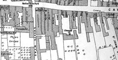
'Edinburgh in the Mid-Eighteenth Century'
Extract 2 from map, including closes near Nether Bow Port at the top of Canongate
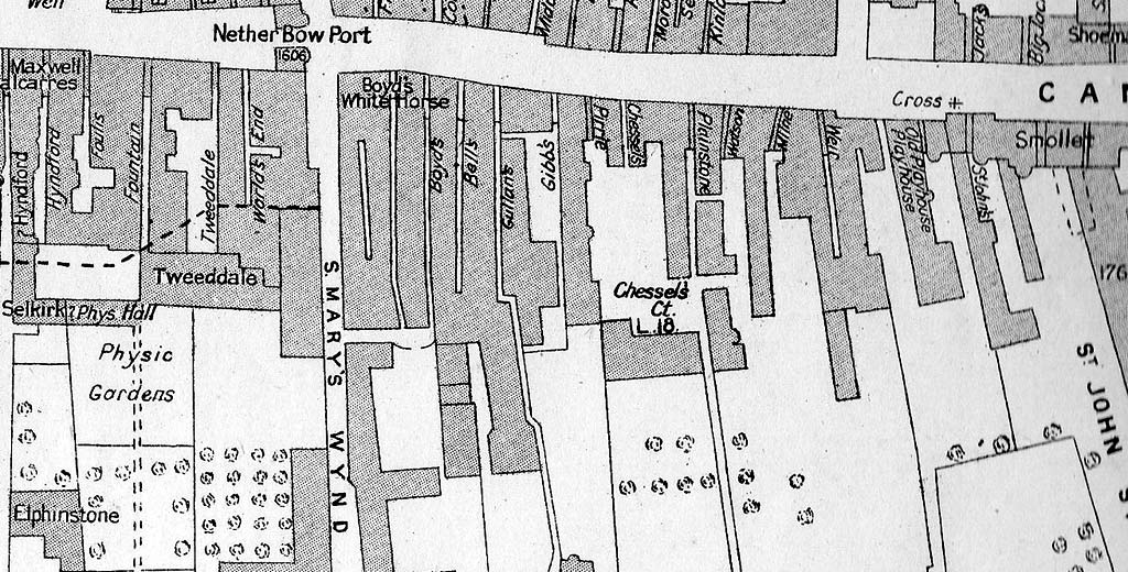
©
Reproduced with acknowledgement to John
Dickson, Royston, Edinburgh
Map
drawn by Henry F Kerr in 1918 and published in The Book of the Old
Edinburgh Club, Vol XI, 1922.