|
The World |
1813
© Reproduced by courtesy of Steve Batrick, Ross-on-Wye
|
1813 |
|
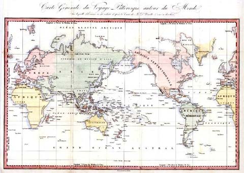
This is a map entitled "Carte Generale du Voyage Pittoresque autour du Monde .." engraved by Ambroise Tardieu after a map by D'Urville, published about 1834. It is a simple world map centered on the pacific Ocean. Size 50 x 32 cms. The British Isles appear two-thirds of the way up this map, close to both edges. |
|
MAPS: Full index |
|
MAPS: Short Index with thumbnails |