|
The British Isles Shaded Relief Map 1987 You may need to scroll across and down this page to see the whole map |
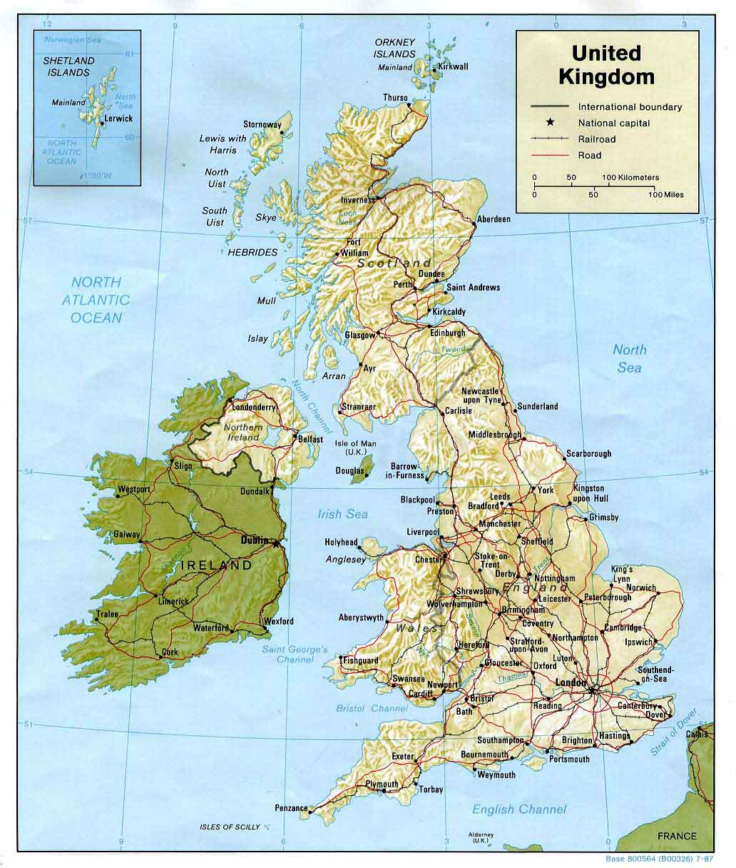
The map above is reproduced with acknowledgement to the Perry-Castañeda Map Collection at the Library of the Library of the University of Texas in Austin
|
The map above is The British Isles Shaded Relief Map - 1987 |
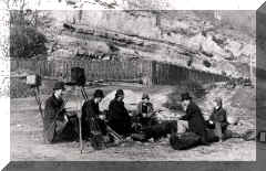
EdinPhoto web site You are now viewing the EdinPhoto web site, a personal, non-commercial site that records my research into the history of photography in Edinburgh. To read more, or to view some of the old engravings, photos, postcards, etc. please click on one of the links at the foot of this page, or go to the EdinPhoto home page. - Peter Stubbs |
|
|
|
|
SMALL MAPS: Zoom-out to Europe (2001) Zoom-in to Scotland (c.1830) |
|
|
LARGE MAPS: Zoom-out to Europe (2001) * Zoom-in to Edinburghshire (1884) * |
|
|
* Large maps may be slow to load. |