|
Granton Road Carriage Pass |
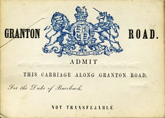
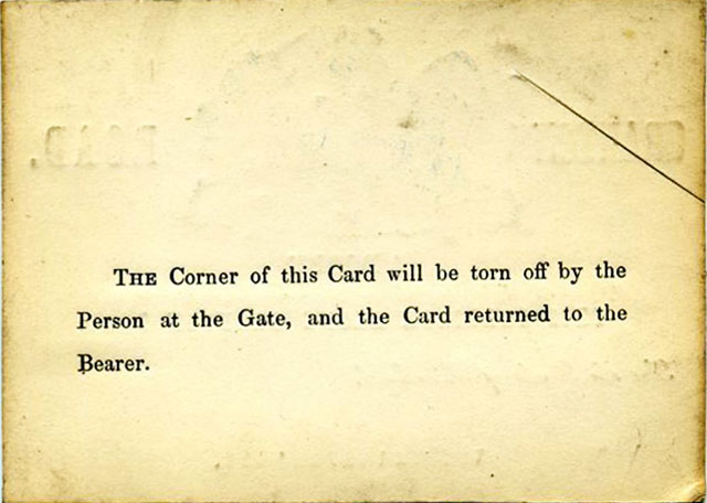
Front of the Pass
© Reproduced
with acknowledgement to Miles Cumming, Edinburgh
© Reproduced with acknowledgement to Miles Cumming, Edinburgh
|
Carriage Pass |
|
|
Thank you to Miles Cumming for sending the photos above to me. Miles wrote: |
|
|
Granton Road "Here is an item that I've recently acquired. It would be great to see it on your site. Perhaps that would spark someone to provide info about it's background. I know that the road was constructed around 1836 to reach Granton harbour, and this is all tied up with the Duke of Buccleuch. Here is a link to a plan dated 1836, showing Granton Road passing through The Duke of Buccleuch's land."
"The item came into my possession from London. It's a funny thought that it was in the car tonight as I drove past the junction of Granton Road and Ferry Road. I wonder how many years have passed since it was back 'home' in Edinburgh!" Mile Cumming, Edinburgh: December 3, 2013 |
|
|
Hi Miles The Pass It was good to see that pass again. In fact, I got myself a copy of the same pass (or perhaps it was a similar one for Middle Pier, Granton Harbour) around the 1970s when I was looking into the history of Granton Harbour. I had it on display in the back window of my car for a while. I got mine from the Historical Search Room at the National Archives of Scotland, so I expect the original is still somewhere in their collection. Granton Harbour Work on building Granton Harbour for the Duke of Buccleuch commenced in 1835. The Pier that was later known as Middle Pier was originally named Victoria Jetty, after Queen Victoria. It was partially completed and opened on her Coronation Day, 28 June 1838. Perhaps the Pass for travel along Granton Road might date from some time around the 1840s. Peter Stubbs: December 5, 2013 |
| Ephemera |